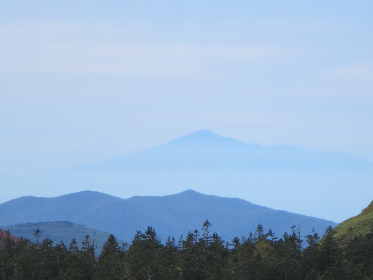
Hachimantai covers a vast area, and the panorama from Mount Chausu encompasses its entirety. Looking south from the lava dome towering atop Mount Chausu, the massive bulk of Mount Iwate takes center stage, with Mount Hayachine beyond it and the alluvial plain of the Kitakami River basin stretching far into the distance.
The Higashi-Hachimantai volcanic group spans the area from Genta-mori through Chausu-dake to Maemori-yama, formed by volcanic activity later than that of the Nishi-Hachimantai volcanic group. Consequently, the topography in this region is younger and features sharper outlines.
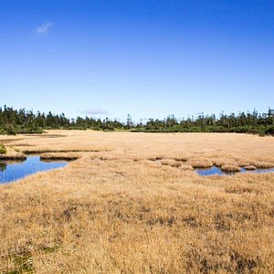
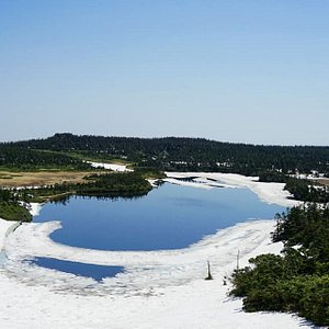
The view directly below encompasses the primary forests of the Kamikita River and wetlands such as Lake Onuma and Lake Kumano.
Visitors can reach the summit via two routes. The main route, also used as a ski slope in winter, is somewhat challenging but offers new vistas at each trail stop. The gentler trail through the Kurotanichi slope passes through a forest of Japanese hemlock and connects to the summit trail.
Throughout the summer, alpine plants bloom along the trail. In early summer, Japanese poppies, Makino's buttercups, and dogwoods bloom. In midsummer, mountain hawkweed and Hakusan rhododendrons bloom.