Hachimannuma Pond and the Hachimantai Summit
Home " Why Hachimantai? Beauty and Adventure All Year Round in the Towada-Hachimantai National Park! " Hiking in the Towada-Hachimantai National Park " Hachimannuma Pond and the Hachimantai Summit
Beautiful Hachiman Pond and the Hachimantai Summit
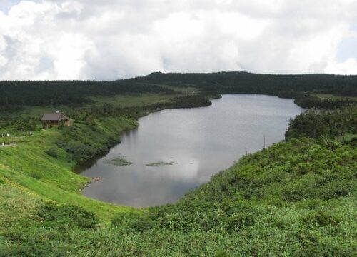
Hachimantai Plateau is located at the top of a plateau-shaped mountain with an altitude of 1,613 meters, with quiet ponds, vast wetlands, and extensive forests of Oosorabiso spreading out. Among the ponds and marshes in Hachimantai, the largest and a symbol of this region is Hachiman Marsh.
It is the only crater lake of Aspeite volcano in Japan, formed about 7,300 years ago, spanning approximately 1.5 kilometers in circumference. From the promenade that goes around the surroundings, you can access to the wetlands, where alpine plants such as Nikko Kisuge, Kobaikeisou, Chinguruma, Watasuge bloom from summer to early autumn.
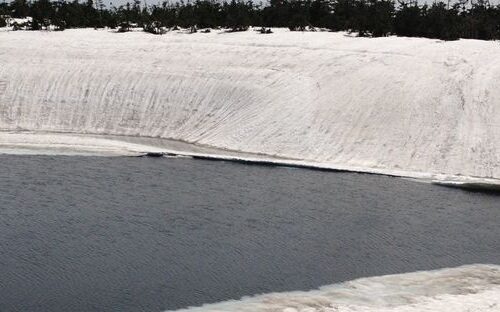
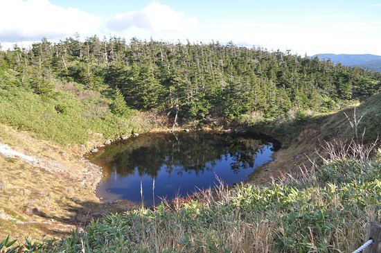
The nearby Kagaminuma is called "Hachimantai Dragon Eye" from the natural phenomenon that occurs in late spring. When the edge of the swamp melts and the water ring opens, and the central part of the remaining ice begins to melt, it looks like a huge dragon's eye when viewed from above. While beautiful, it becomes dangerous when it begins to melt, so visitors need to keep away from the edge.
Mikaeri Pass is located on the border between Akita Prefecture and Iwate Prefecture. From the pass, you can overlook the Hachimantai and its ponds and wetlands on the east side, Mt. Iwate, Hachimantai, Akita Komagatake and other mountains on the south side. Visitors can also use the Hachimantai Summit Rest Area and parking lot at the pass.


