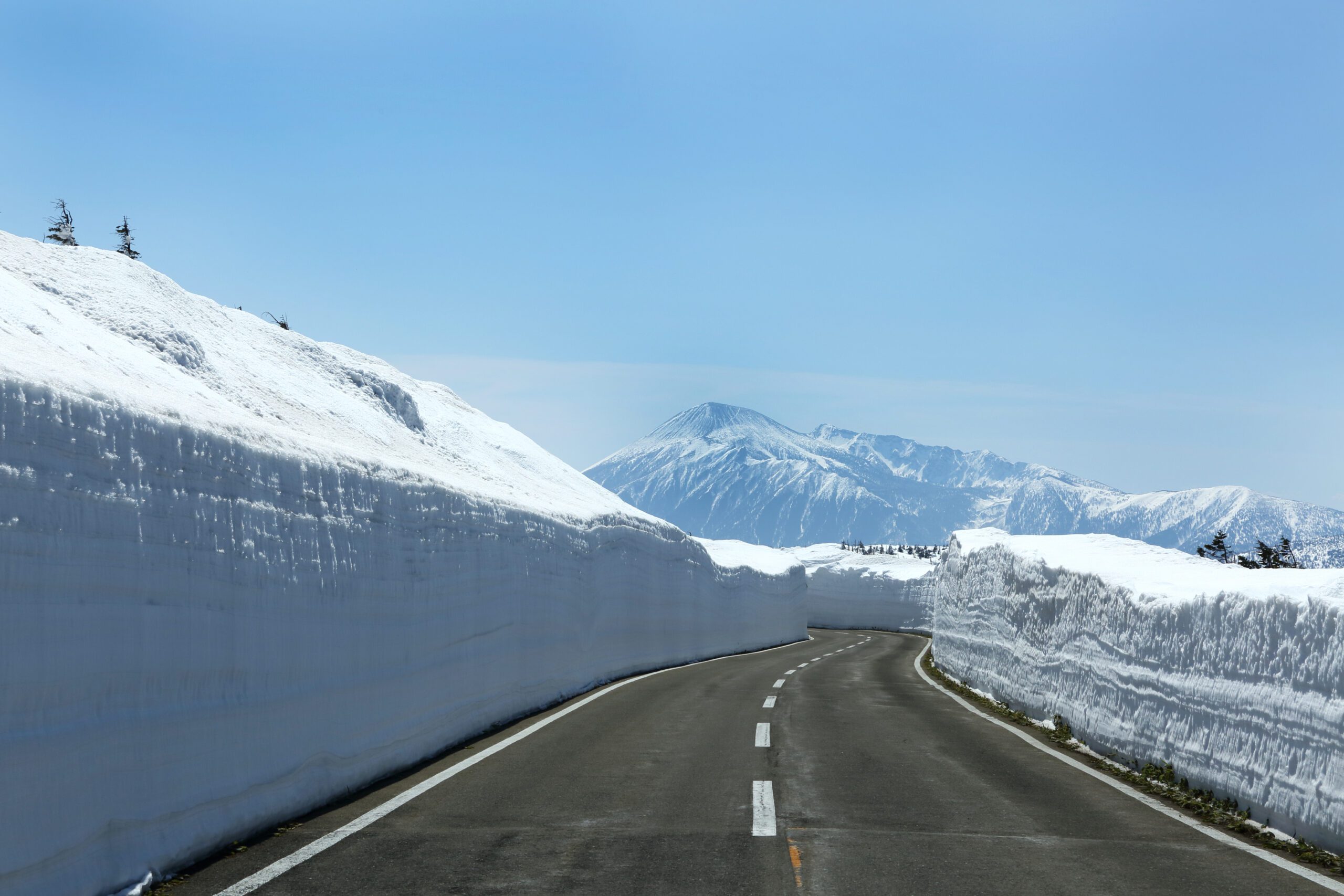
Hachimantai Aspite Line
Wander off the beaten path in Towada-Hachimantai National Park while driving the Hachimantai Aspite Line. You’ll be treated to impressive views of Mt. Iwate and the Ou mountain range as well as a range of hiking trails to suit all abilities for when you need to stretch your legs.
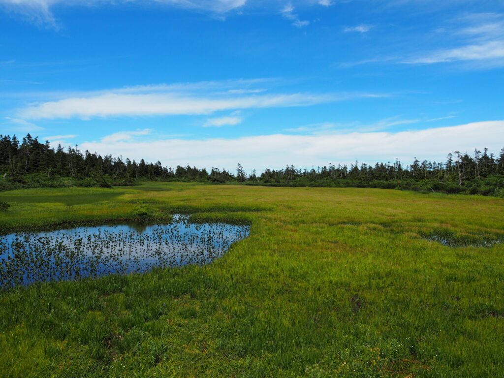
Pit stop:. Start your journey at Hachimantai-Matsuo Visitor Center next to the entrance to Hachimantai Aspite Line. Here you can pick up tourist brochures, as well as souvenirs and fresh local produce at the on-site farmers’ market. There’s also a stand selling coffee brewed with pure spring water from one of Japan’s 100 famous springs located nearby.
The Hachimantai Summit Rest House at the border of Iwate and Akita prefectures also provides a range of visitor services including information boards, rest areas, light meals and a souvenir shop.
Best time to visit:
Spring:
- Each year when it reopens after winter, a snow corridor is created along the Hachimantai Aspite Line connecting Iwate and Akita prefectures. At approximately 27 kilometers long, this is the longest snow corridor in Japan and some years reaches as high as 8 meters. A leisurely drive to Hachimantai Summit allows you to fully appreciate this incredible sight.
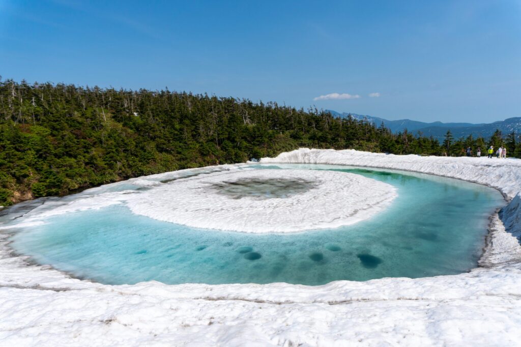
- One of Hachimantai’s most iconic attractions, the annual phenomenon of the Dragon Eye is a must-see in spring. Near Hachimantai Summit, the snow melting on Kagami-numa Pond resembles a giant eye staring back at you. It’s about a 20-minute hike from Hachimantai Summit Rest House parking lot.
Summer:
- The remarkably flat mountaintop of Hachimantai Summit blooms with unique alpine flowers. Summer is also peak hiking and mountain climbing season with a range of trails accessible from Hachimantai Aspite Line.
Please note that the Hachimantai Aspite Line is closed over winter (early November to mid-April) between Midorigaoka gate in Iwate Prefecture and Fuke-no-yu hot spring gate in Akita Prefecture. In 2024, it is scheduled to reopen at 10:00 a.m. on Monday 15th April.
Where to next? Either return to Hachimantai City via the Hachimantai Jukai Line or continue into Akita Prefecture where you could visit Nyuto Onsen, Lake Tazawa or Kakunodate.
Hachimantai Jukai Line
Winding 25.5 kilometers from Hachimantai Onsen-kyo (lit.hot spring village) to Mikaeri Pass near Hachimantai Summit, the Hachimantai Jukai Line offers sweeping views of Hachimantai City in the valley below as you climb ever higher.
Why go? Onsens(hot springs) set amongst awe-inspiring natural scenery – volcanic activity formed these mountains and the Earth’s power bubbles to the surface today as natural hot spring water.
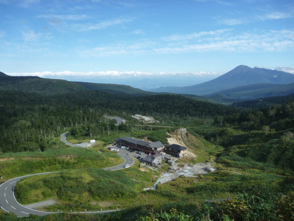
Tucked in at the base of the mountains is Matsukawa Onsen: a collection of historic hot spring inns dotted around the Matsukawa River. You can choose from both indoor and outdoor baths with accommodation and day visitor options also available. Personally, we think the outdoor baths with seasonal views of the rich autumn colors and piling snow in winter are the best.
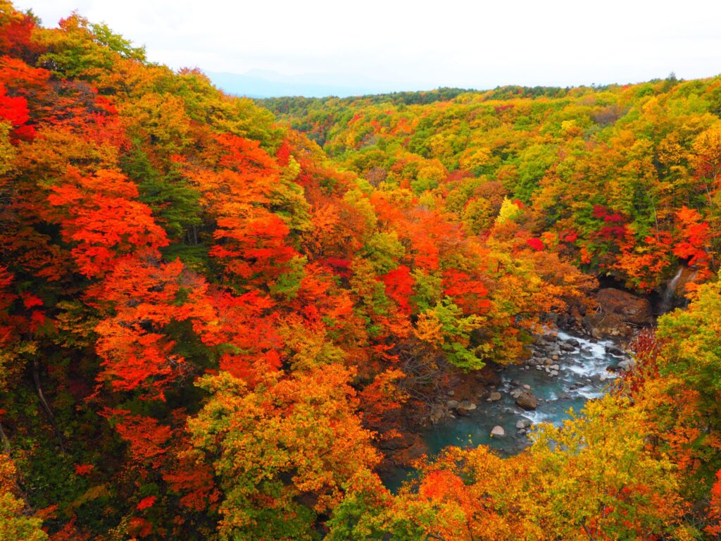
Best time to visit: The mountains and valleys come alight with autumn colors around October. Local autumn hot-spots, Mori-no-Ohashi Bridge and Matsukawa Valley Genbuiwa are both accessible from the Hachimantai Jukai Line.
- Toshichi Onsen Saiunso: https://www.toshichi.com/ENG/index.html
- Matsukawa Onsen Kyounso (Google Maps): https://maps.app.goo.gl/cJt2gSEdQSCZ6ZhLA
- Matsukawa Onsen Matsukawaso (Google Maps): https://maps.app.goo.gl/LnqzhKRLeUNhrSkn7
Mt. Iwate Panorama Line
The Mt. Iwate Panorama Line stretches 8.8 kilometers through a mostly forested rural valley from the volcanic landscape of Mt. Iwate Yakehashiri Lava Flow to where geothermal springs emerge at Hachimantai Onsen-kyo.
Why go? As the name suggests, this drive offers panoramic views of Mt. Iwate and the Ou mountain range. At one end stands Yakehashiri Lava Flow, an enduring natural monument to a volcanic eruption of Mt. Iwate in the 1700s. The almost apocalyptic landscape which sustains very little plant life is approximately 4 kilometers long and 1.5 kilometers wide and is best viewed from an observation platform that’s approximately 20 minutes’ walk from the parking lot.

Best time to visit: This road is accessible year-round, however, due care should be taken in winter when snow and ice can cover the road. The summer green season or early autumn when the surrounding rice fields are ripe for harvest are our favorite times to drive this route.
Gourmet Ashiro
Take a drive into the mountains and experience the quality cuisine and rural hospitality of the Ashiro area in Hachimantai City’s north-east.
Why go? Here you can taste local ingredients at their source, learn about centuries old traditions and breathe in the fresh country air.

Pit stop:. There are several family businesses and local producers with on-site direct produce stores in this area. For more detailed information on local restaurants and points of interest (including opening hours and Google Maps links), please seethis blog post.
Best time to visit: The Ashiro area is accessible year-round, however, this region experiences heavy snowfall and winter tires are mandatory. If you are traveling here during the colder months, you should make sure that you are suitably prepared for driving in snow and give yourself extra time to get to your destination. Please note that some local businesses may close or reduce trading hours during winter.
Renting a car
Helpful links:
- Things to know when renting a car (JNTO): https://www.japan.travel/en/plan/getting-around/cars/
- Hachimantai Aspite Line (Google Maps): https://maps.app.goo.gl/4ShK24JoKEJ8zCzQ6
- Hachimantai Jukai Line (Google Maps): https://maps.app.goo.gl/d4vjAUBC2tsYpbfj9
- Mt. Iwate Panorama Line (Google Maps): https://maps.app.goo.gl/i9NMeeiuXQbD5YXr6
All information listed was confirmed at the time of publication. No responsibility is taken for changes made by third parties after this time.
All Categories
Recent Posts
Hachimantai Plus: Summer
Hachimantai Plus Kids: Green season guide
Hachimantai Plus: Spring
Tags.
